The Sunderland “4 Peak” Challenge.
Distance: 20.8 Miles
Running time 4:30 minutes.
Running time 4:30 minutes.
Total Ascent: 635 Metres
Total Decent: 702 Metres
“Putting the City of Sunderland, on the UK map for great off road running”.
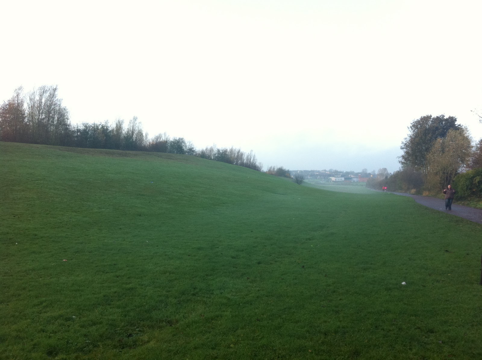
It was Saturday 12th November at 8am straight after a healthy Shepherd’s Pie for my breakfast, I started my run. The temperature was about 8*C with mist and drizzle making the trails, muddy and very slippery, which only makes the run even more interesting and fun. As the morning progressed the sun started to peak through the clouds and the rain quickly cleared up.
Peak 1 – Tunstall Hill

The first peak of the morning run was Tunstall Hills, where on approach a short scramble to the top of the hill reaching the “trig point”. Turning 90* picking up the track and heading in a north easterly direction towards the village of Ryhope. The track gets a little tricky in a couple of places, where good under footing can prevent embarrassing falls. “Whoops” I missed my footing and fell, lying in the mud with two pulled inner thigh muscles. Never mind, after picking myself up and with a little stretching I pushed on with my run.

At the bottom of the track crossing over a small stream, I picked up a steep and very muddy grass bank, following the track running behind “Venerable Bede” secondary school.

Carrying along the track, where I meet with another steep and very muddy grassy bank, at the foot of the bank it meets up with the old coal railway line.

Heading west along the railway line for about 1 mile to meet the 2nd Peak of the run. The Silksworth Ski Slope, which is located at the Silksworth Sports Complex.

Peak 2 – Silksworth Ski Slope
Distance: 3 Miles.

Running to the top of the Ski Slope touching the fence and back down the other side, meeting up with the main walking path of the complex. Following the path in a semi circle direction passing Sainsbury’s Superstore which is now on your left and over a small footbridge. Turning left and following the path heading south. This is where I pick up another and challenging bank, which I decide to run up and down in a zigzag motion.
“I just love a Challenge”
Heading in a South direction, passing the Fire Station and McDonald's on the left. Just to tantalise your taste buds you can smell and imagine eating a Sausage & Egg McMuffin meal!!. However myself discipline to overcome such desires got the better of me. Still heading south you pick up the A690 which takes you out of Sunderland towards Stoneygate. Where after 6 miles, I turn left picking up the track and heading in a northern direction.


Where in the distance, I now I have in my sights my next Peak No 3– Hastings Hill.
Peak 3 – Hastings Hill
Distance: 8.5 Miles.

After a quick decent and crossing over the A19 bridge. Turning right, picking up the next track and heading west through Black Woods.

At the end of the trail the forest opens up leading in to New Herrington Park. Turning right and heading north to reach Peak No 4, Penshaw Monument.
Peak 4 – Penshaw Monument
Distance: 10.5 Miles

After a quick ascent to the top, turning left heading down some steep steps through a wooden gate heading east through the woods to meet up another steep back called Coxgreen Road. At the top of the bank heading in to Offerton Village, tuning left and ascending down another track meeting the River Wear. Turning right over the wooden sty and heading east following the river where at the 13th mile, the Wetlands wild foul can be found in abundance.

After passing under the A19 underpass, the runner passes by two pre-war vessels and the famous Clatchy Rock. This is the 15 mile marker, where the track heads up a grass bank, under the Metro railway bridge to meet up with the road B1405 – European Way.


Following the road and heading east in to the City of Sunderland town centre, passing the B&Q retail shopping outlet on your left, this is the 17 mile marker. Turing right at the 2nd roundabout following the A183 – St Mary’s Way. Passing the Sunderland University on your left, crossing over the Metro railway line, under the A690 underpass, passing Burn Park on your left. Following the road A690 until reaching “The Barnes Toby Carvery” on your right. Turn left at the traffic lights, following Queen Alexandra Road. At the next roundabout turning right to pick up the short but steep “Strawberry Bank”. Near the top of the bank turning right heading along Crosslea Avenue, this is the 19 mile marker. At the bottom of the avenue turn left picking up Silksworth lane, where at the roundabout. Turn left heading east following Essen Way. Where at the bus stop turning right and entering the housing estate following Langley Drive, Witton Court, Harperley Drive and finishing the 20 mile run, with Tunstall Hills directly in front of you.
My recommendations
1. Like most trail runs of this calibre, the runner will be exposed to both physical and mental stresses, going through the “hi and lows”. My recommendation to overcome this is purely down to good planning and preparation of nutrition and re hydration. It may be worth in considering to place a drop bag, just before reaching Peak – 4 Penshaw Monument.
2. If you are lucky enough to own a smart phone such an "Iphone". Then I must recommend that you consider in purchasing the “Tune-in” Internet Radio App. During the course of the run between 9 am to 11:30 am, I was listening 97.3FM – Radio Brisbane – Australia “The Saturday Night Party Night”. This is a mixture of 80’s, 90’s and current music hits, well worth a listen!
The end of the run feeling good, while enjoying a bottle of Coca Cola
“Keep on Running”
Darren Barnes
Follow my running activities on Twitter @enduranceruner
Darren Barnes
Follow my running activities on Twitter @enduranceruner

No comments:
Post a Comment