The Penshaw Circuit - City of Sunderland
· Location - City of Sunderland & Penshaw Hills.
.
· Total Distance - 17 Miles
· Total Running Time, including Stoppages for Photographs - 04:19:35
· Total Ascent - 892 Metres
· Total Decent - 877 Metres
· Total Calories Burned - 2,256
The above information was taken from my Nike Runmeter and Garmin Vista GPS.
Disclaimer: I take no responsibility for any unfortunate errors made during writing this post. This run has been completed by myself, with my best of knowledge and ability in recalling the entire route.
Recommendations: -In advance of undertaking this running route, I would recommend that the runner undertakes the following; Research the Route, Run with a Partner, Take an Ordnance Survey Map, Compass, Whistle, Waterproof Clothing, Nutrition, Survival Bag, Mobile Phone and completes a Route Card.
About this running route: This route starts at the beginning of The Sunderland Ski Centre Park, where the path starts and finishes on Premier Road (B1405), near the Plains Farm Social Club. The route takes in a circuit of the outer perimeter of the Running Track - ascent & decent of the Ski Slope - ascent & decent of Haisting Hill - Black Woods - Herrington Country Park - 5 circuits of Penshaw Monument - Penshaw Woods - Coxgreen Road & Bank - Offerton Grange Farm - Weardale Way - Offerton Haugh - River Wear Trail - Pallion - Deptford - A690 - The Barnes and finish back at the start on Premier Road.
View the route in Google Maps
http://j.mp/xopb81
The Start -Premier Road (B1405) Sunderland.
Take the path on the left heading towards the "Sunderland Puma Ski Centre".

Follow the path turning left over the foot bridge and carrying on towards the Ski Centre. At the Ski Centre turn right, heading towards the running track. Pick up the trail that encompasses the running track and run 1 complete circuit. To make the run more challenging, I tend to do several laps around the outer perimeter and zig zag up and down for a final lap of honour.
At this stage in the run your "Lungs and Legs," should be warmed up and eager to press onwards.
At this stage in the run your "Lungs and Legs," should be warmed up and eager to press onwards.

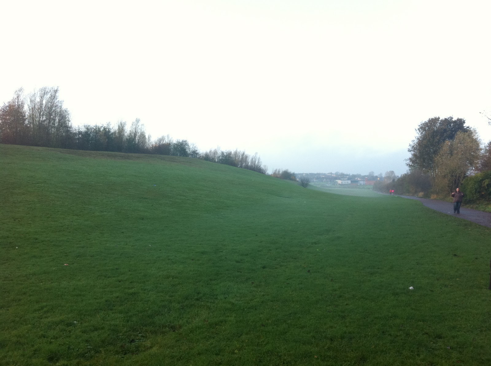
Upon completing a circuit of the track, cross over the car pak and take a direct ascent to the top of the ski slope and back down again. Once again, if you are feeling adventurous there is nothing stopping you, from zig zaging up and down the slope several times!!!.

Cross back over the car park and head south towards the lake, where you descend down a grassy slope reaching the shore line of the lake. Turn around and head back up the grassy slope, with a short sprint to the top. Once reaching the top of the slope turn left and follow the path for approximately 100 metres. Take the next grassy slope on your left and ascend down to shore line. Turn around and head back up the grassy slope, with a short sprint to the top. Once reaching the top of the slope turn left and follow the path down to the shore line. Turn left again and follow the path as it skirts around the lake, where it meets with the road "Northmoor Lane".
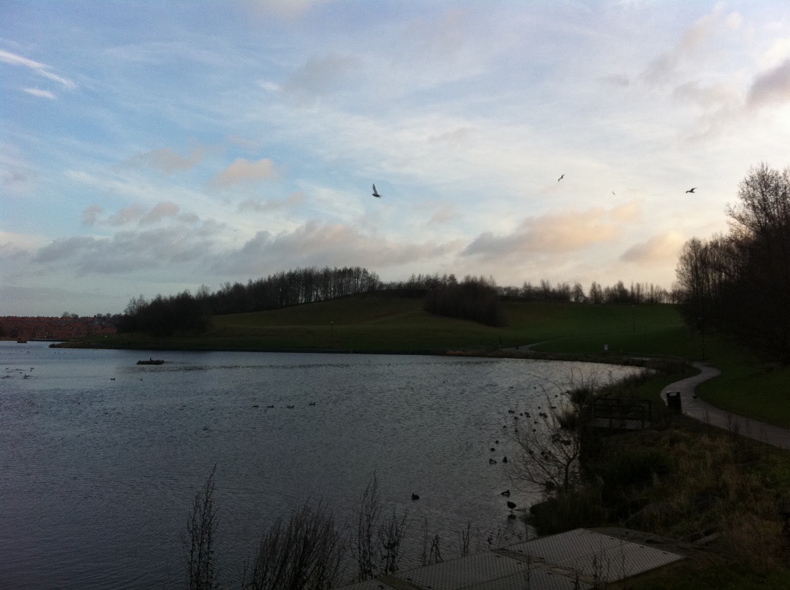
Cross over the road and follow this west heading towards the "Northmoor" roundabout, where it meets with the A690 "Durham Road". Turn left and ignore McDonalds on your right, remember "Self-Discipline" and ignore those tempting Cheese Burgers & Fry's. Follow the road uphill, where a gradual jog leads into a sprint towards reaching the top of the hill.
At the top of the hill follow the road for approximately 400 meters, turning right at the traffic lights. Enter Summer Hill Road, where "St Chadds Church meets with Olivers Dentists".

After 200 metres the road bends to the left, ignore this and carry straight on. Enter the bridle path passing fields on your left, housing estate on your right until you reaching Haistings Hill.
Haistings Hill is the 3rd Peak of Endurance Run 1 - "The Sunderland 4 Peak Challenge".
Ascend the hill until reaching the Trig point at the top, turn back around and head down the hill in a north east direction until reaching the fence line. Turn left cross the field and enter "Foxcover Lane". Follow the bridge as it crosses over the A19 Motorway. Just after crossing the A19 take the road on your left, gaining access to this by climbing over a small steel fence. Follow the road down hill until reaching a track on your right. Take the track and follow this as it enters "Black Woods".


At the end of the track, the wood leads into "New Herrington Park". Turn right and head north towards "Penshaw Monument Hill".
This is Peak No 4 of Endurance Run 1 - "The Sunderland 4 Peak Challenge".
Caution ! On your approach to "Penshaw Monument Hill". please take care when crossing the A183 "Chester Road".
This is Peak No 4 of Endurance Run 1 - "The Sunderland 4 Peak Challenge".
Caution ! On your approach to "Penshaw Monument Hill". please take care when crossing the A183 "Chester Road".

Mile 7 - "The Penshaw Circuit".
This is where the fun begins !!!
Complete up to 5 circuits of "Penshaw Monument Hill & Penshaw Woods".
It may be worth considering to leave a bag drop at this point, where you can rehydrate and eat energy food, before attempting this strenuous section.
Ascend the track leading to the top of Penshaw Hill, turn left and descend the track until reaching the wooden gate.
This is where the fun begins !!!
Complete up to 5 circuits of "Penshaw Monument Hill & Penshaw Woods".
It may be worth considering to leave a bag drop at this point, where you can rehydrate and eat energy food, before attempting this strenuous section.
Ascend the track leading to the top of Penshaw Hill, turn left and descend the track until reaching the wooden gate.

Caution ! is needed during the descent of the track, as the steps can be quite slippy.

Enter "Penshaw Woods" through the wooden gate.

Follow the track through the woodland for approximately 1 mile. Turn right and take the short but steep ascending wooden steps up to the edge of the tree line, where it meets with a wooden sty.

To gain maximum enjoyment from this circuit, I would strongly advise a sprint to the top of the steps!!!

After exiting the sty, follow the track for 15 metres until reaching a second track. Turn left and follow the track as it skirts around "Penshaw Monument Hill".

The middle section of "Penshaw Monument Hill".

Follow this path as it skirts around "Penshaw Monument Hill".

Hmmm - here is a bunch of tough characters. Should I take this bull on - "Man Versus Beast". I think that I would most probably come off the worst, in this losing battle !!!!

As the track splits in two sections, take the track on your left nearest to the fence and follow this until reaching the steps that leads back up to the top of the Monument.


My "Penshaw Circuit Trainers" - As you can see that the track gets very muddy !!!

Upon reaching the steps, continue the ascent towards the bottom corner of the field, where entering the road via a wooden gate. Turn left and follow the road for approximately 100 metres until reaching a second wooden gate. Where another circuit of "Penshaw Monument Hill & Penshaw Woods" begins.


After successfully completing between 4 - 5 circuits of this section of the run. Head back in to Penshaw Woods and ignore the"Steps from Hell" on your right. Follow the track until reaching a wooden sty at the edge of "Penshaw Woods". Enter the field and head down to the bottom corner, cross over a second sty turn right and start the ascent of Cox Green Bank.
Passing the local wild life on your right !

Follow the road until reaching the junction of "Offerton Lane and Foxcover Road". Head straight on and into "Offerton Lane". Take the track on the left and follow this as it descends passing "Railway Crossing Cottage" on the right. Follow the track as it passes the golf course on your left, until reaching the River Wear.

At the river bank turn right and cross over the sty and follow the "Weardale Way". Follow the track along the river bank heading towards the City of Sunderland, passing "Offerton Haugh, Stony Haugh & White Haugh" on the right.


After passing under the A19 underpass, the runner passes by two pre-war vessels and the famous Clatchy Rock. This is the 14 mile marker, where the track heads up a grass bank, under the Metro railway bridge to meet up with the road B1405 – European Way.
My muddy "Penshaw Circuit Trainers" are now going to get a washed !!!!

You can not go around this puddle, so the only thing left that you can do is. Run through the cold and dirty water........Yipee.....

Following the road A690 until reaching “The Barnes Toby Carvery” on your right. Pass through the traffic lights heading long Silksworth Lane. Just before reaching the roundabout on Essen Way. Take the path on your right, pass over the foot bridge and turn left. Follow the path until reaching Premier Road. Cross over the dual carriage way until reaching the path, where the run finishes.
Congratulations ! You have just survived Endurance Run 5 -"The Penshaw Circuit".
I bet that your legs are aching now !!!.

Who is this crazy person......?

I have challenged myself to compete in one of Scotland's most famous 54 mile Ultra Marathons. Where I intend to raise funds for my chosen charity for 2012 - "Pawz for Thought". For further details on the charity's good work and how you could help to support there ongoing efforts, then please click on the above charity's website link.
My chosen charity for 2012
"Pawz for Thought"
“Keep on Running & Be Inspired”
Darren Barnes
Follow my running activities on Twitter @enduranceruner
Follow my running activities on Twitter @enduranceruner